


HOW IT WORKS
On Map 1 there are a total of 30 defined locations (‘controls’) with values of either 20, 30 or 40 points and the objective is to collect as many points as possible by visiting the controls within the designated time (2 or 3 hours depending on which course you have elected at the start). On Map 2 there are 46 ‘controls’ and 4.5 or 6 hours to complete them depending on which course you elected at the start.
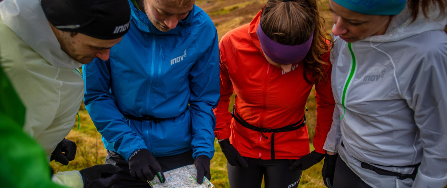
There are no physical markers at the controls – instead we use a GPS smartphone app called MapRun6 to identify and record when each control has been visited. At the end of your run, your results are displayed and are stored on a server so you can see your ranking compared with other people who’ve completed the same course.
HOW TO GET READY TO TAKE PART
You need to install an app called Maprun6 which is available free on the Apple App Store or Google Play for Android. Fill in your name, which will appear in the rankings, and basic information under “User details” on the App. We cannot offer technical support on this App, but this link covers some issues that might arise on your phone.
When you are out on the course the app uses GPS and is not reliant on a phone signal. Before leaving home or whilst you still have access to data you need to download the course from the App. Open the app and use “Select Event” to find our courses which are listed under UK/Cumbria/Saunders and then click on the 2, 3, 4.5 or 6-hour time courses respectively, depending on which you want to enter.
The 2 courses on Map 1 are the same 30 controls but with different time limits - make sure you select the correct length of course before you start. If you choose the 2-hour limit and take longer than this, then you will lose points via penalties. If you choose the 3-hour course and don’t use all your time then you will not incur penalties but will be simply leaving points on the course. Map 2 works in a similar fashion; with both courses featuring the same 46 controls and two different time limits to choose from (4.5 and 6-hours).
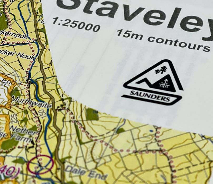
Collect your custom SLMM score course map from our Forge Store located at Staveley Mill Yard, LA8 9LR (between Hawkshead Brewery and More Bakery). The store is open 6 days a week, Thursday to Tuesday (closed Wednesdays).
STARTING AND COMPLETING THE COURSE
To get to the start, leave The Forge store and turn left at the end of the covered arcade. Turn left again at the bowling club and you will see the bridge over the river Kent, which is the start and finish of the course.
Start theMaprun6 app and click on “Go to Start” – this will display the map on your phone so that you can see if your GPS is working. Go towards the start area as shown on the map and get ready to run. The app will automatically start logging your track and time when you pass within about 10m of the Start. The phone will beep indicating your timer has started.Now just follow your course around the controls and as you get within about 10m of each one your phone will beep and display a message saying the control has been registered. If it doesn’t do this immediately, circle around the control for a bit – it can take a few seconds for your GPS to register your location, especially under trees. If it still doesn’t register, start wondering if you’re in the wrong place!
When you get to the finish the timer will stop automatically and you will be given the option to upload your results to the server. This will then allow you to see your position in the rankings for the course. You can also configure MapRun6 to upload your route directly to Strava.
PENALTIES AND TIME LIMITS
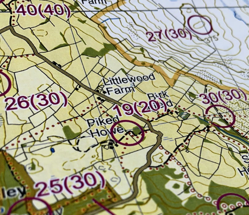
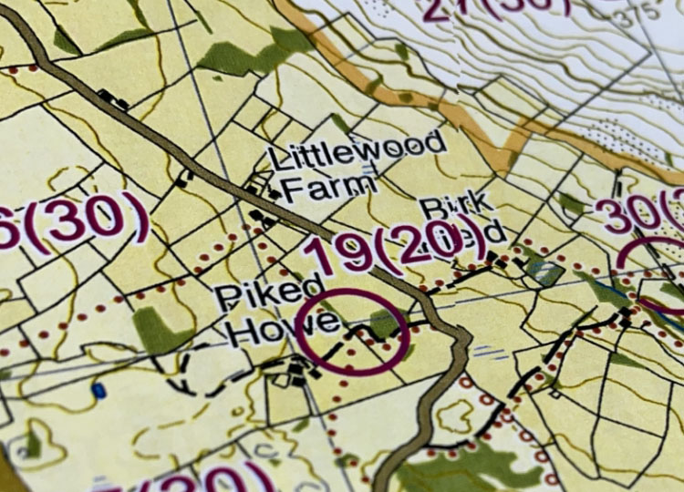
You have 2 or 3 hours respectively, from when your phone registers at the start to collect as many points as possible and return to the start where you phone will register you have finished. Each control point has a unique identifying number with a control description which describes the feature on the ground and a numerical points value ascribed to it.
These are aggregated to produce your total score and each control point only counts on the first visit. Points are subtracted at the rate of 10 points for every minute or part minute over the relevant limit. So, for example, if you enter the 2-hour course and take 2 hours 6 minutes and 23 seconds to collect 250 points you will lose 70 points and your final score will be 180 points. If you had entered the 3-hour course you would retain 250 points.
RULES
The boundary of open access land is shown on the map with a thick orange band. Outside access land you must stay on public rights of way (paths and bridleways shown with red dots and roads). Inside access land you can go anywhere but must only cross walls/fences at gates and stiles. These exist wherever a right of way (with red dots) crosses a wall/fence and there are additional places marked in purple (see map legend for symbol). Remember that your route will be visible on the results page so your score may not be counted if these rules are not followed.
SAFETY
All those using the app and the course do so entirely at their own risk and need to be aware of the dangers of traversing remote mountains, where communications are poor. We have no control over who uses the courses and do not vet participants. With everyone taking responsibility for themselves there are therefore no mandatory kit requirements. However, as a general rule for anyone running or walking in the mountains, at any time of year we would suggest taking at least the FRA mandatory kit list [waterproof whole-body cover (with taped seams and integrated attached hood), hat, gloves, map of the route, compass, whistle and emergency food].
