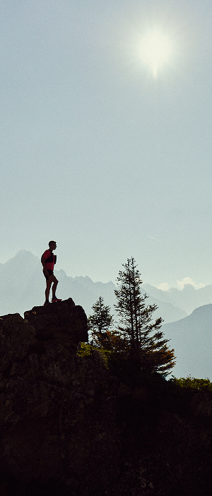


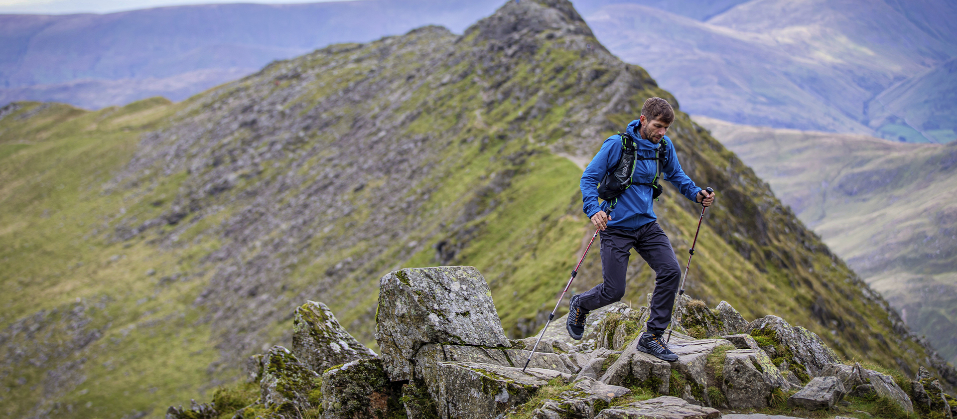
KENTMERE HORSESHOE WALKING ROUTE
Quick facts
DURATION
5 hours
DISTANCE
13-14 miles
EXPERIENCE LEVEL
All levels
Kentmere horseshoe sometimes knows as the Kentmere round. Is a series of the most impressive wainwrights in one great circuit. Due to their proximity Hikers\trail runners tend to spend a whole day in the fells bagging up to an impressive 8 Wainwrights in one go. Walkers tend to take the round in a clockwise direction attacking Yoke firstly then Ill Bell, Froswick, Thornthwaite Crag, Mardale Ill Bell, Harter Fell, Kentmere Pike, and then finally Shipmans Knott. A truly spectacular day in the fells.
HIKING/TRAIL RUNNING ROUTE FROM KENTMERE
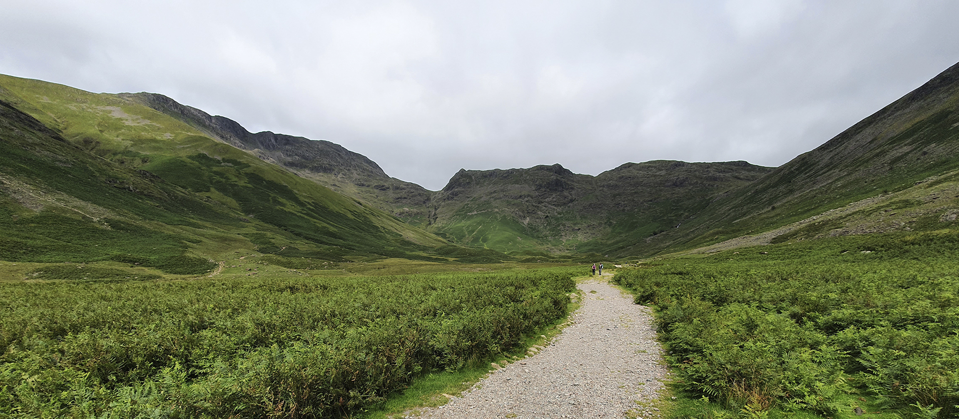
There are a number of places in and around Kentmere but in the summer months, there is a possibility to park in a field at the base of Kentmere church. Otherwise, there is a number of parking spaces alongside the church itself in the winter months when the field isn't open. From wherever you start you will want to continue up the road past the church following it as it veers to the left. Once following this road to the left there will be a stone path shooting up to your right-hand side taking onto the main path. Following this path will take you through a number of gates as the path starts to climb. The path is made of large stones and is very obvious as it climbs and snakes up the fell for around 2 miles from the start....
As you reach the climax of the first climb you will pass through another wooden gate and the path will flatten. After a further 200m approx. you will approach a T junction where you will want to take the right-hand side path which continues to climb. This path continues up the fellside with an obvious path until you reach a kissing gate, which you pass through, and the path swings to the left which you continue along for 0.5 miles as you reach Yoke summit.
From this top, it's fairly clear where you are continuing along as the path continues past Yoke summit and drops slightly before climbing again towards Ill Bell. The climb is mainly rocks and loose stone but is fairly exposed in winter conditions. After the climb, you will be able to see three stone cairns also know as the "3 sisters" indicated you have summited Ill BElls. As you continue off this path and descend down be aware the rocks are quite loose and may require a small scramble so best to take it slow.
Once down safely the path will again flatten out slightly before climbing again as you make your way towards Froswick. This climb is shorter than that of Ill Bell and slightly more grassy but as long as you stick to the obvious main path there will be no problems. Following this climb you will reach the summit of Froswick, the third Wainwright bagged. From here there is a smalls stoney descent onto a wide and obvious path. This path undulates until you reach a path junction. You want to keep to the left path which continues to climb. As you do so after approx. 300m from the turn you will see the tall stone cairn of Thornthwaite.
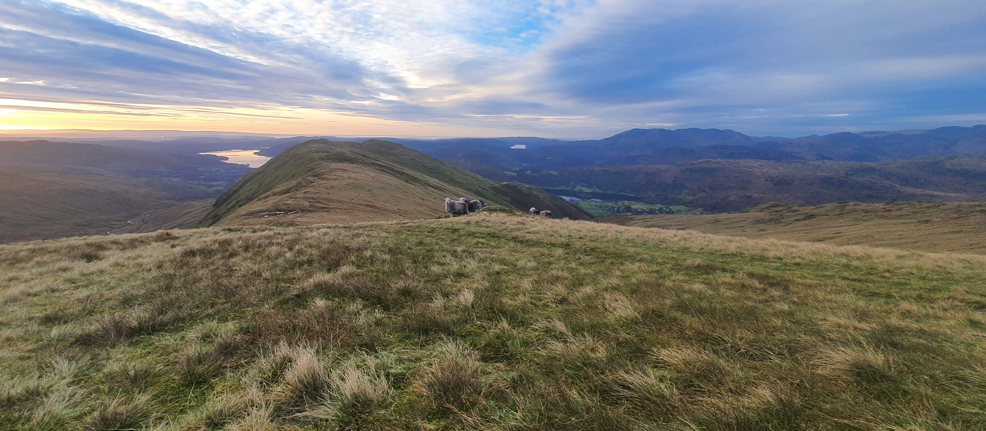
From Thornthwaite you get to look back at the 3 previous Wainwrights you have just 'bagged' as well as a spectacular view of the remaining Wainwrights to come. Looking back at where you have come from you will see a stone path on your left-hand side that appears to lead you to a wall corner. Following this path will lead you near the wall corner but then pulls slightly to the left before climbing. Some people decide to follow the wall in summer months as is it a quick way of reaching High street however in the winter it can be very boggy and hard to navigate. So you can follow the path for approx. 1 mile then the cairn of High Street will appear on your right.
Looking down towards Kentmere from the cairn of High Street you will be able to spot a path sweeping left. There is a number of ways to get here. In summer people walk across the marsh 'as the crown flys' as it is easy to see the path the entire way and make adjustments. However, if you follow the wall almost back from where you cam for 200m a path will appear on your left which will allow you to join the main path straight away. This path will undulate for 1.5km where in that time you will pass over Mardale Ill Bell before it swings round and drops you at a small stone hut at Nan Bield Pass. (A good spot for a break).
From here you want to follow the path that continues to climb. This path is made of bigger rocks some in some places it does require a small amount of scrambling. The trial will continue for approx. 0.5km before it starts to flatten out, in doing so you will be able to see a small pile of stones will metal sticking out at a fence corner. Signifying you have reached the summit of Harter Fell. From here the path is very undulating as you cross over a mixture of bog and trail but you should keep a fence or a wall on your left the entire time.
As mentioned the path undulates for over 1 km. before it noticeably climbs. This path is made mainly of a mixture of loose stones and grass. As you reach the summit, look carefully as the cairn for Kentmere Pike is located over the wall on your left. Indicating you have successfully climbed the penultimate Wainwright of this round. Make sure to come back over the wall to continue along the trail.
From here the path continues along the wall that has been on your left-hand side the entire way and starts to drop. The path does from slightly as a path on your right-hand side will drop to a stile in the wall but as long as you keep to the higher path nearer the fence line you will reach a gate at a wall intersection.
As you pass through this gate, again keeping the wall on your left the entire way you will reach the summit of your eighth and final Wainwright of this round, From there it's all downhill. The path will follow the wall all the way off the fell and you will cross over a small stream in the bottom before reaching a wide and obvious track called Sadgill pass.
Join this pass and follow it downhill, this path will take you through a couple of wooden gates until you reach the road. From here you can follow the road for 1 km where the road will drop steeply to your right. As you follow this road you will pop out at the field where you may have parked. Otherwise, it's a small walk up the hill back to the Kentmere Village Hall.
Read more ⌄
Similar Routes to Kentmere Horseshoe
ADDITIONAL INFORMATION
Caution should be taken at all times when running or hiking in the Lake District fells. Only undertake a route if you are adequately prepared and fully equipped for the conditions you might face, ensuring to carry all emergency equipment. Headtorch with spare batteries, a full set of waterproofs, emergency blankets, and whistle. Please also ensure you are confident in the use of a map and compass.
Check mountain weather forecasts before setting off (the weather can change very quickly in the fells, especially higher up) and always let someone else know the route you are planning to take.
Stay on the designated paths, respect the countryside, leave gates as you find them, take all your litter home, and no leave nothing but footprints.
For more advice on safety in the Lake District fells we thoroughly recommend you read these two pages by Mountain Rescue and Lake District National Park.
Kit advice: The highest peaks in England are prone to unpredictable and inhospitable weather, so for this walk, we recommend the Thermoshell Pro Insulated Jacket for extra warmth if the temperate plummets and the Stormshell Waterproof Jacket for maximum waterproofing.