


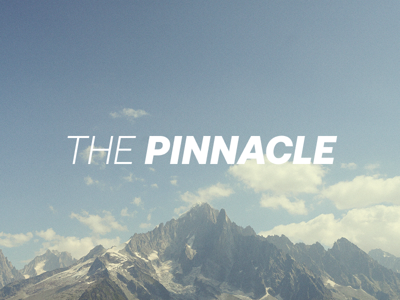
SCAFELL PIKE WALKING ROUTE
Quick facts
DURATION
4-5 hours
DISTANCE
6-12 miles
EXPERIENCE LEVEL
All levels
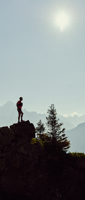
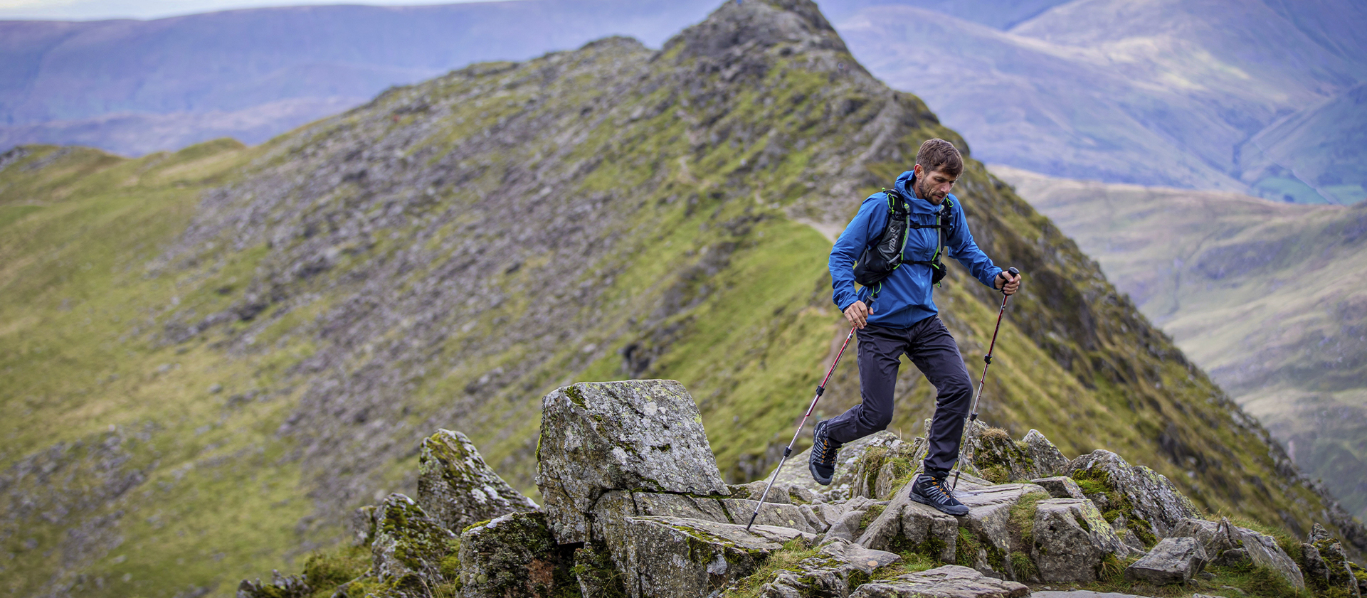
At 978 meters (3,210 ft), Scafell Pike is the highest mountain in England. It is characterized by crags and general ruggedness. Wainwright describes it as being "...every inch a mountain". (Wainwright 1960, The Southern Fells, Scafell Pike, 5). Additionally, closely neighboured by Sca Fell separated by Mickledore col. Famed for being one of the classic Wainwright walks, with spectacular views of the entire Lake District. Certainly, one Hike & Trail Running enthusiast should have on their bucket list.
HIKING/TRAIL RUNNING ROUTE FROM LANGDALE
For this route, there is a number of places you can park. Firstly, you can park at the National Trust Car Park nest to the New Dungeon Gyll (Ambleside LA22 9JX). Luckily if that car park is full or not open there is a smaller pay and display car park over the road which also takes card payment, unlike the National Trust machine. Lastly, further up the valley, you are able to park at the old dungeon Gyll. (May be reserved for customers only). From wherever you park you need to reach the Old Dungeon Gyll to start your ascent, this is easy to do if parked at The New Dungeon Gyll by passing through some fields or on the road....
To reach the main path you can either head around the back of The Old Dungeon Gyll or follow a path straight ahead as you pass over the bridge. Once you join this path, follow this for around 2 miles as you head towards the top of the valley. Net, you must keep to the left as you pass over a small footbridge and start to climb. The path is clear and obvious but can be slippery with large rocks and a wet day. As you continue to climb and snake your way up eventually you shall crest and see Angel tarn on your left.
As you pass by and continue along the path and climb you will reach a small stone hut on your left a further mile along. Veer left at this hut as you reach a T-Junction. Turn right as this junctions and continue to climb and the path remains obvious. As you approach Calg Cove and Broad Crag there are a number of large boulders and rocks you need to maneuver. The best way to pass through this section is to follow the small cairns which are visible throughout the crossing and guide you along the right path.
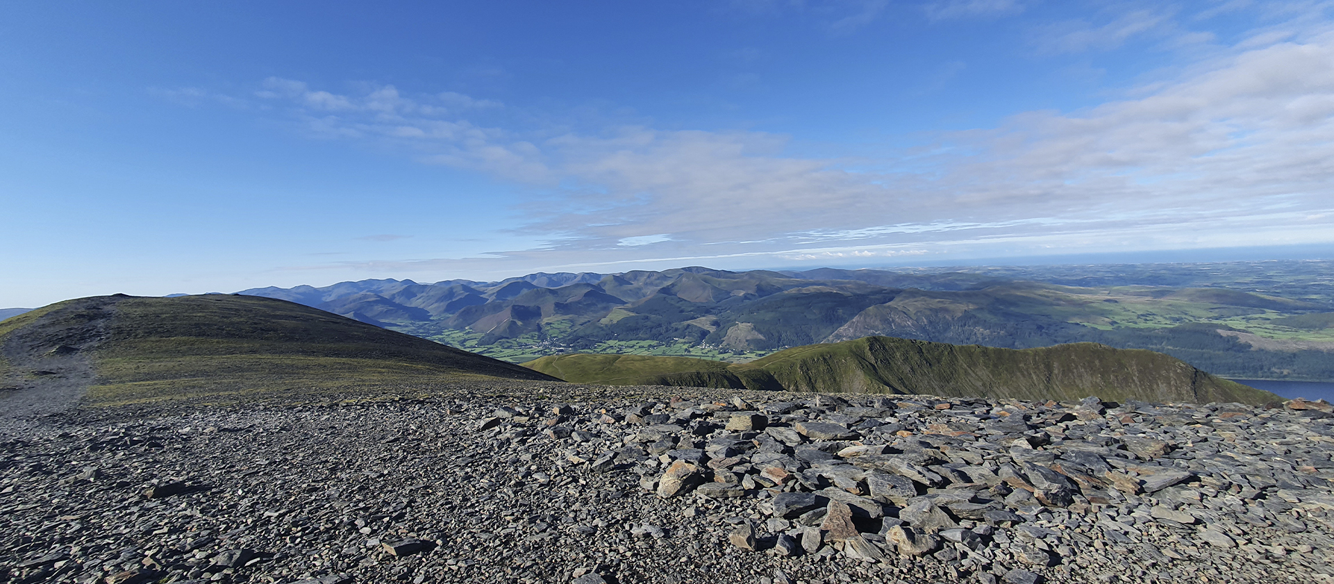
Once completed there is a significant scramble on loose rocks and scree before rejoining the main path. Once completing the scramble the path is obvious towards the top. You will know you are approaching the top as the summit has a large number of loose stones, then you should reach the cairn at the summit. Being one of the highest people in England, completing one of the classic Wainwright walks.
When descending it's most common to come back the way you came following the same steps to maneuver the boulders around Broad Crag before descending back to Angel tarn and the car park to enjoy a well-earned pint at the pub.
Read more ⌄
HIKING/TRAIL RUNNING ROUTE FROM WASDALE
Firstly, parking can be found at the National Trust Car Park at the head of Wastwater, next to the local campsite (Wasdale Head, Seascale CA20 1EX). Following the path along Lingmell Bech as it quickly starts to steepen along this path. After following this path for around 1 mile, you will reach a small river crossing (nothing too extreme). However, it's important to remember, during or post heavy rainfall this crossing may become more difficult. ...
Once crossed the river the gradient increases again as you climb Brown Tounge, thankfully this stepper section only lasts for less than half a mile before easing off at the top of Brown Tounge. The path across the top is overly obvious, especially in mist or low-lying clouds. Therefore, it is advised you take left and head towards the cairn at the summit of Brown Tounge, allowing for an easier ascent.
Following this is a section that is more forgiving on the legs than previous sections. The path should now steady and obvious as you head towards Lingmel Col. Follow this path for approximately another mile where it should join the 'Corridor Route'. Don't follow this route as the path you should follow for the final ascent should be very clear with some loose rocks for the final stretch.
Finally, you should have reached the summit. Reaching the cairn itself can be a small struggle as it is mainly scree and loose rocks around the tops. However, once you have maneuvered this, you will be one of the highest people in England, completing one of the classic Wainwright walks.
When descending there is a number of ways you can do this either the way you came up or continuing onto Sca Fell which neighbours the summit of Scafell Pike. If you choose its option you can descend via the corridor route rejoining the main path further down the mountain.
Read more ⌄
Similar Routes to Scafell Pike
ADDITIONAL INFORMATION
Caution should be taken at all times when running or hiking in the Lake District fells. Only undertake a route if you are adequately prepared and fully equipped for the conditions you might face, ensuring to carry all emergency equipment. Headtorch with spare batteries, a full set of waterproofs, emergency blankets, and whistle. Please also ensure you are confident in the use of a map and compass.
Check mountain weather forecasts before setting off (the weather can change very quickly in the fells, especially higher up) and always let someone else know the route you are planning to take.
Stay on the designated paths, respect the countryside, leave gates as you find them, take all your litter home, and no leave nothing but footprints.
For more advice on safety in the Lake District fells we thoroughly recommend you read these two pages by Mountain Rescue and Lake District National Park.
Kit advice: The highest peaks in England are prone to unpredictable and inhospitable weather, so for this walk, we recommend the Thermoshell Pro Insulated Jacket for extra warmth if the temperate plummets and the Stormshell Waterproof Jacket for maximum waterproofing.